Laddar...
Skafnäs-udde Grufvan
Coordinates: 59.74186, 14.28814 (WGS84)
Taken up from abandonment in 1870.
Worked 1871–72.
Depth 51 m.
Worked 1871–72.
Depth 51 m.
Taken up from abandonment in 1870.
Worked 1871–72.
Depth 51 m.
Worked 1871–72.
Depth 51 m.
Resumption and Operation of the Mine
The mine was taken up from abandonment in 1870 and pumped clear of water and rock. Work continued during the years 1871–1872, but with a poor yield of ore.
Some exploratory work was carried out, though with little success. When operations ceased in 1872, the mine was considered to be entirely exhausted of workable ore.
Location and Extent
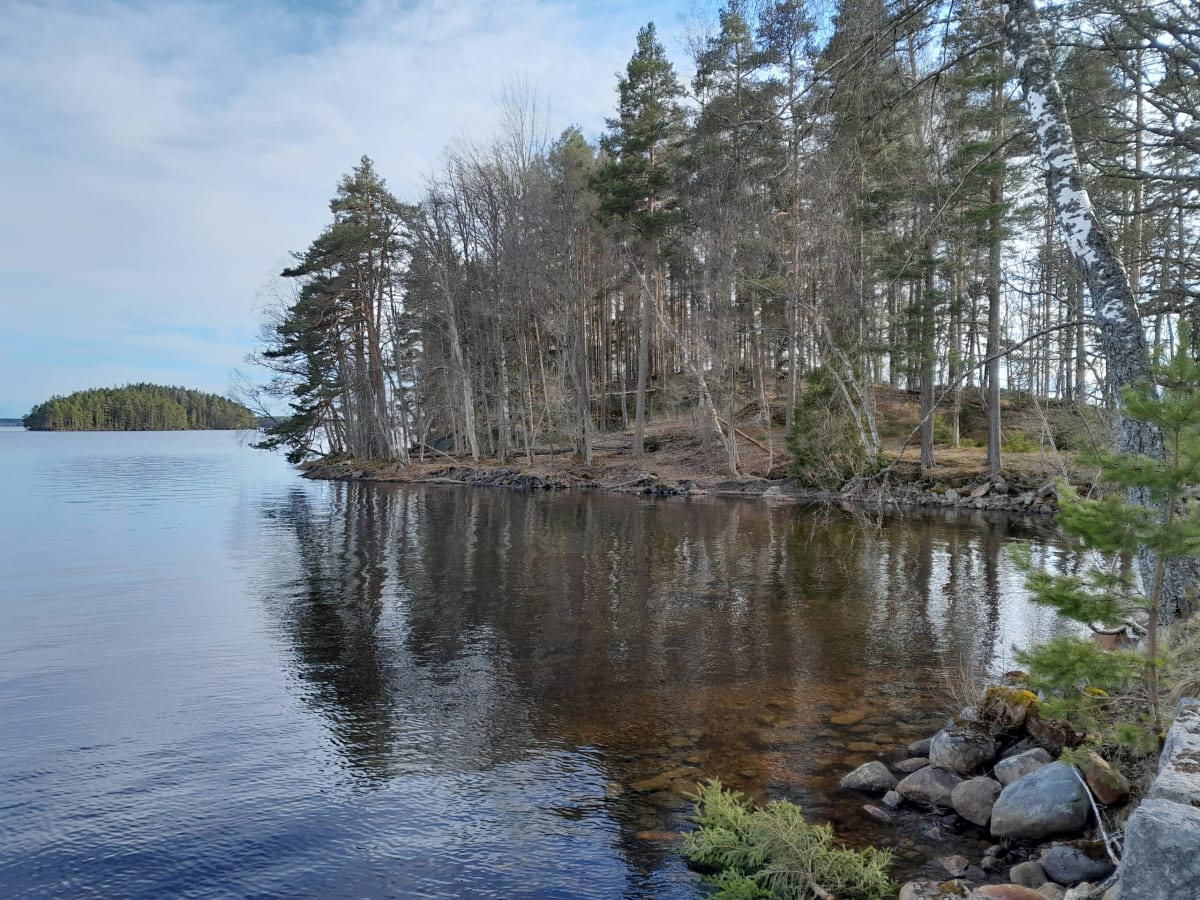
The mine is situated on the eastern side of the Skavnäs headland. It is 170 feet deep (51 m) and extends approximately 20 metres out beneath the lake towards the east
.
Mechanical Power and Water Drainage
The mine received its mechanical power from the pumping wheel located at Braskefallet, at a distance of approximately 1,700 metres from the mine.
Driving and Transport within the Mine
The mine map (Image 3) shows that the mine was largely driven at an inclined angle. For this reason, a so-called slide way (Image 5) was constructed, along which the ore barrels were dragged.
Slide ways were used partly to guide the barrels along the correct route through the mine, and partly to give the barrel a smoother passage. This reduced wear on both the barrel and the rope.
Where the slide way ends and the shaft transitions to a vertical position, a bobbin-shaped roller is fitted (Image 5), known in mining terminology as a konis. Its purpose was to guide the barrel correctly during its continued journey through the mine.