Laddar...
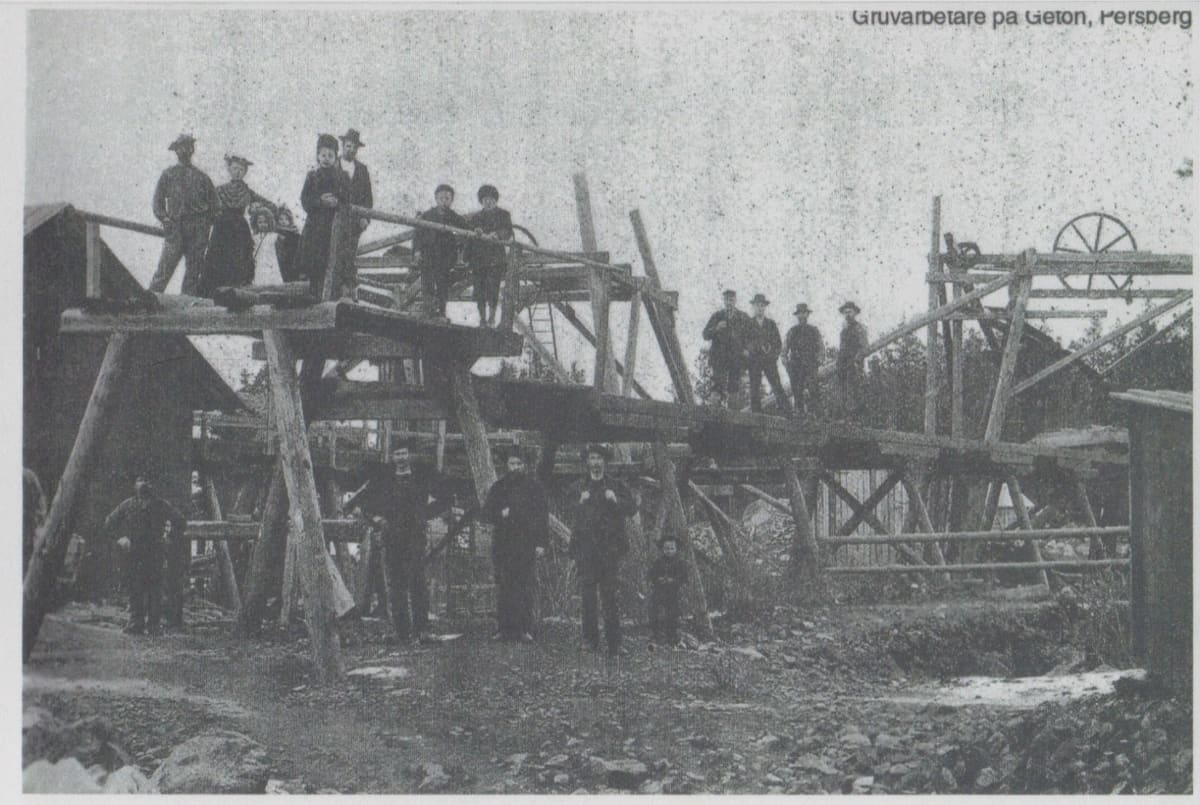
Description of Getö Iron Ore Mine, Färnebo Parish, Värmland County
Early Mentions
-
1740: Northern Getö Mine worked; depth 11 fathoms, good ore.
-
1748: Southern Getö Mine; depth 12 fathoms, red-banded ore.
-
Both abandoned in 1820 due to strong water inflow and have likely remained idle since. Exact location uncertain, probably refers to water-filled mines just north and south of the main mine’s surface openings.
The Main Getö Mine
-
First mentioned: 1766, resumed from idle, abandoned next year due to cost, not ore shortage.
-
1784–1786: Mine in operation; depth 15 fathoms. Horse-powered hoist (hästkonst) used, work not profitable due to water inflow.
-
1785: Called the most ore-yielding among minor mines, but with strong water inflow.
-
1819: Minimal work, otherwise idle until 1847, when a steam engine was installed to power hoist and pump.
-
1847–1860: Mining with good results, except last two years when steam engine consumed too much fuel.
-
During this period: mine lowered from ~30 m to 91–96 m; in 1852, ore bottom lowered 5 fathoms (≈9 m).
Later Period
-
1892: Mine re-claimed, new claims 1895.
-
1899: Locomobile with hoist installed, mine began dewatering.
-
Spring 1901: Mine fully dewatered, ore at bottom could be attacked.
Ore and Mapping
-
Ore: Dense, high-quality black ore with pyroxene skarn.
-
Partially mapped in 1860 by A.J. Nyberg.
-
New map did not use old one, as only one reference point was on the surface and the depth sheets could not be located.
-
North direction determined by sighting Polaris.
Persberg, April 1901
G. Jungner