Laddar...
Description for the map of the New Norland Mine in Fernebo parish, County of Värmland
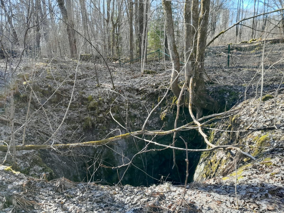
The mine, which is located within the claim area of the Persberg Odal mine field, is not mentioned in the mining reports. It had previously also been referred to by the miners as Grafgruvan.
In 1897 the mine was reopened after having been abandoned, due to compass indications found in its vicinity, and since then it has occasionally remained inactive.
No significant ore deposit has so far been discovered, but the ore that has been extracted here is of very good quality, similar to that of the Krangruvan, to whose skarn layer it probably belongs.
The mine had not previously been mapped. As a reference point for the surveying of the map, the same point has been used as for the map of the Odal field, and the reference points of the two maps have been measured together.
The claim boundaries marked on the daily map sheet have been transferred from an older map of smaller scale and are therefore not exact.
Persberg, February 1900.
J.G. Jungner.
Transcription of original document: TN