Laddar...
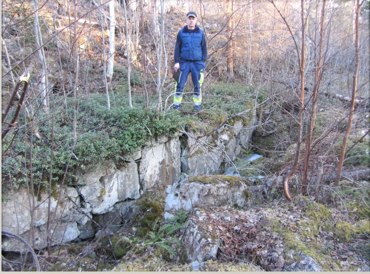
Krangruvan Waterwheel before the 1860s Regulation
Coordinates: 59.75030, 14.26273 (WGS84)
Flöde: 157 l/sek
Lutning ränna: 0,11m
Fallhöjd: 9,5m
Avfall från hjul: 0,06m
Effekt: 9,8hk
Lutning ränna: 0,11m
Fallhöjd: 9,5m
Avfall från hjul: 0,06m
Effekt: 9,8hk
Flöde: 157 l/sek
Lutning ränna: 0,11m
Fallhöjd: 9,5m
Avfall från hjul: 0,06m
Effekt: 9,8hk
Lutning ränna: 0,11m
Fallhöjd: 9,5m
Avfall från hjul: 0,06m
Effekt: 9,8hk
Krangruvan Waterwheel before the 1860s Regulation
Location and Operation
The Krangruvan waterwheel was located 225 meters north of Krangruvan and became operational in the early 1820s. Once the wheel was in use, the ability to mine in Krangruvan improved significantly, as there had previously been major problems keeping the mine free from water.
Downstream Installations
The next wheel downstream was Krangruvspelet. If this wheel was not in operation, there was a side drainage channel directly down to Malmbergsviken.
Extension of the Water Channel
In 1842, a water channel extension was built from the Krangruvan wheel to the mines at Malmbergskärret.
Remains
Approximately 100 meters north of the wheel pit, a foundation stone for a turning junction is preserved.