Laddar...
Krangruvan Waterwheel
Coordinates: 59.75486, 14.24827 (WGS84)
Konstens längd: 2385 m.
Byggt år: 1763.
Byggt år: 1763.
Konstens längd: 2385 m.
Byggt år: 1763.
Byggt år: 1763.
Krangruvan Waterwheel, built 1763
Location and Remains
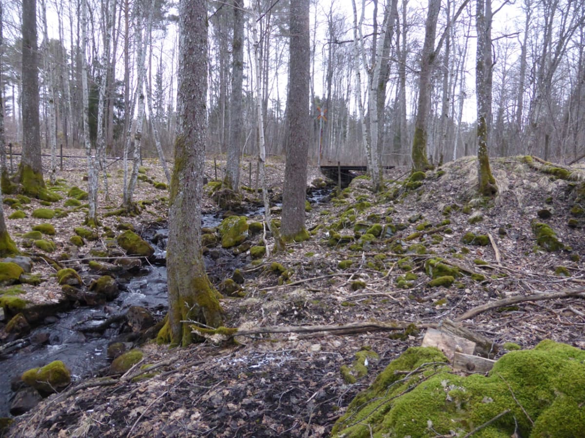
The waterwheel was constructed 120 meters southwest of the Gubbdammen outlet. No visible remains of the wheel pit exist today, and its exact location cannot be determined. The wheel was likely destroyed when the Östra Wermlands Railway was built towards the mines.
Water Issues and Need for Power
To understand the scale of the problem caused by increased water inflow and the need for additional waterpower, the reports state:
-
1761 report: The water gap from 1758 had widened, making the Krangruvan mining field nearly impossible to work. Despite the waterwheel starting on March 6, work could not begin until August 19. Lake Yngen supplied this water, and three years of effort had only increased the depth by 2 fathoms.
-
1762 report: Norra Krangrufvan was not emptied until late September. The depth increased only slightly, and Kranghalsschsktet remained waterlogged. Proposals were made to keep the wheel running in winter and to build a new waterwheel.
-
1763 report: Complaints about water difficulties. The new wheel was installed in Krangruveschaktet. Attempts were made to keep it running in winter using fire boilers.
-
1765 report: Measures were needed to keep the wheel operational during winter.
-
1771 report: On November 22, work in Krangruvan ceased, and the wheels were moved to Storgruvan.
-
1805–1807 reports: The wheel was extended to Hagegruvan. In 1807, a branch was connected to Vestra Hagegruvan, making the total length from the wheel to Hagegruvan about 2200 meters.