Laddar...
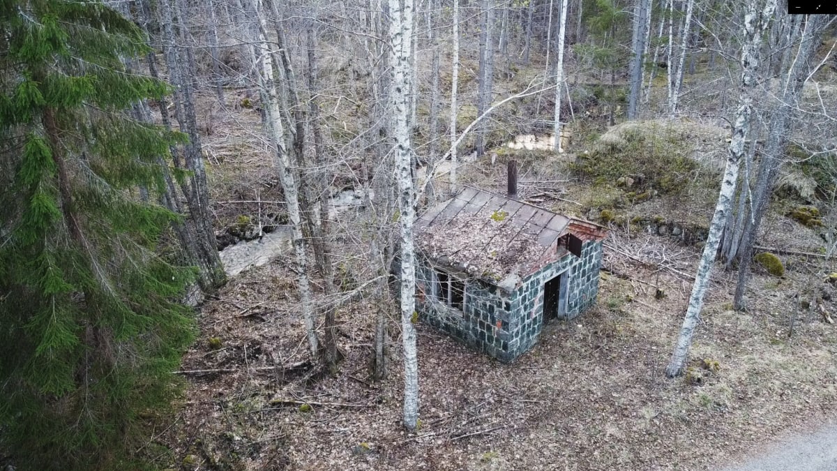
Jordåsen/Gustav-Adolf gruvans Konsthjul
Coordinates: 59.75800, 14.24693 (WGS84)
Konstens längd:
Till Mossgruvan: 112m.
Byggd år 1754.
Till Gustaf Adolfgruvan: ca: 1700m.
Byggd år 1769.
Till Mossgruvan: 112m.
Byggd år 1754.
Till Gustaf Adolfgruvan: ca: 1700m.
Byggd år 1769.
Konstens längd:
Till Mossgruvan: 112m.
Byggd år 1754.
Till Gustaf Adolfgruvan: ca: 1700m.
Byggd år 1769.
Till Mossgruvan: 112m.
Byggd år 1754.
Till Gustaf Adolfgruvan: ca: 1700m.
Byggd år 1769.
Jordåsen/Gustav-Adolf Mine Waterwheel
History
In the Relations about Filipstad’s Bergslag mines, it is stated in 1754 that Mossgruvan was ”located in a burnt peat bog”. The water inflow was strong, and a small wheel was installed to try to solve the problem.
Water Conduit and Problem
A 63 fmr (112 m) long water conduit was built from the wheel to the mine, but the small wheel could not keep the water out. In 1758, mining at Mossgruvan was discontinued due to these issues.
Dam Location
Over the years, the dam for the Mossgruvan wheel, as well as the dam for Jordåsen/Gustaf-Adolfgruvan’s wheel, could not be found. Thanks to recent forest clearing, the location of these dams is now believed to have been identified.
Period of Use
The waterwheel for Mossgruvan was only used for a few years, as mining in the mine was stopped in 1758 due to water problems.
Further Development
-
In 1769, a wheel for the Jordåsen water conduit was built, likely at the same dam site as Mossgruvan’s dam.
-
In 1778, the conduit was extended to Gustav Adolfs mines.
-
In 1791, the conduit was moved from Gustaf Adolfs mine to Malmbergskärret.