Laddar...
Spelfallet
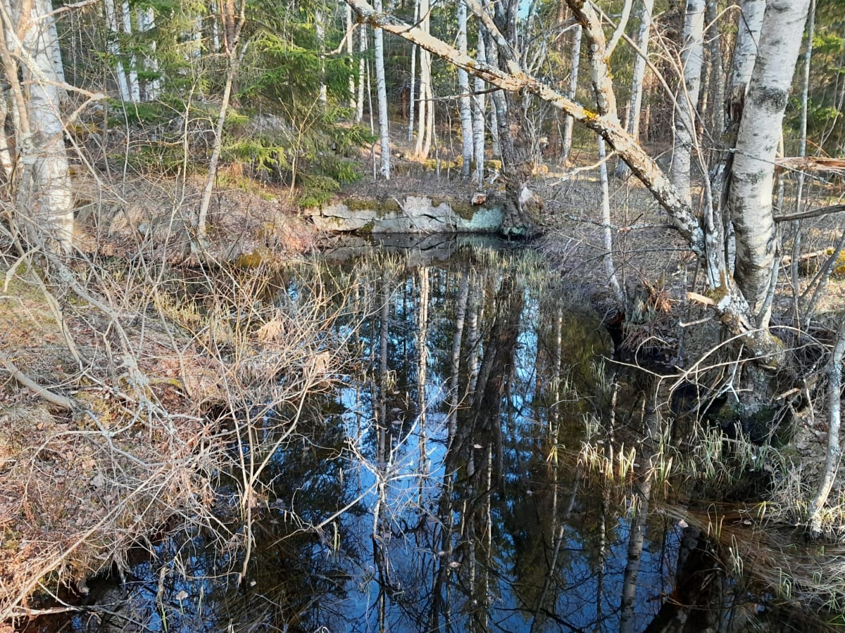
Coordinates: 59.75804, 14.25147 (WGS84)
Effekt: 5,61 hk
Fallhöjd: 7,29 m
Flöde: 85 l/sek
Fallhöjd: 7,29 m
Flöde: 85 l/sek
Effekt: 5,61 hk
Fallhöjd: 7,29 m
Flöde: 85 l/sek
Fallhöjd: 7,29 m
Flöde: 85 l/sek
– Spelfallet (“The Turbine”)
Background and Construction
Spelfallet, commonly referred to as the “turbine,” was created through the watercourse constructed in the early 1860s in connection with the regulation of Persberg Canal.
Design of the Watercourse
The waterway leading to the fall is somewhat unusual:
-
From the canal down to Jordåskärr Water Wheel, the water ran through a wooden pipe.
-
From there, it continued as an open canal.
-
North of the former mission house, the canal transitions into an approximately 40-meter-long culvert, built of slag bricks (images 2 and 3).
-
It then returns to an open canal before reaching Spelfallet.
The culvert is an impressive piece of craftsmanship and appears to remain relatively intact after about 160 years.
Although constructing a culvert may seem unnecessarily labor-intensive and costly, it was likely difficult to establish an open canal across arable land.
The Turbine at Spelfallet
A turbine was installed at Spelfallet. The turbine runner is shown in image 1.
After passing the fall, the water flowed westward toward Yngshytte River via an approximately 300-meter-long dug canal.
Map Reference
On the map (image 4), the slag-stone culvert is marked.
The wooden pipe from the canal down to Jordåskärr Water Wheel is also shown, marked in red.